

![]()
SonarCards™ is a tool that you use to help you
better operate your Sonar/GPS unit on your boat. It is like having a
sonar guru sitting next to you, telling you to hit this button
and/or that button to perform a particular function like loading
waypoints or setting up your unit. SonarCards™ give you step by step
button or touch sequences without having to look it up in the manual
and then hope you interpret it correctly. The manufacturer’s manuals
are great reference tools but not when you’re on the water and need
to get something done quickly and with confidence. That is when
SonarCards™ can help you.
Each version of SonarCards™ contains card packages for a specific fishfinder/chartplotter unit manufacturer. either Lowrance HDS® or Lowrance HDS® Touch fishfinder/chartplotter units. Other products will be available in the near future for those with different manufacturers. Each version gives the purchaser access to all of the packages for that manufacturer.
This application runs on phone and tablet
devices. Since all of the information is stored locally on your
device, it will work whether or not you have cell network coverage.
The Lowrance version of SonarCards™ includes card packages specific to Lowrance units. All of the following card packages are include in this version.
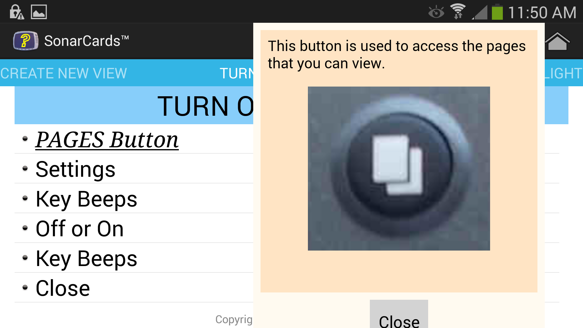
SonarCards™ contains several features that help the user select and go to a topic that they need help.
|

|
|
|

|
|
|

|
|
|

|

|
|

|
|
The Table of Contents or TOC feature allows the user to quickly locate a topic rather than going through the card set.
| To access the Table of Contents for the current card set, tap on the Table of Contents Icon. |
|
| The categories are now displayed for the current card set, then tap on the desired category. |

|
| Tap on the desired topic. |

|
| And the desired topic will be shown in the application window. |

|
There are several tools available to the user. Currently there are 2 tools. One performs conversion of GPS coordinates into values that can be used for Sonar/Mapping units.
| To access the Tool, tap on the Tools Icon. |
|
The GPS Coordinate Converter tool is used to convert GPS coordinates into values that the user can directly input in their GPS mapping unit. This tool is useful when they are obtaining coordinates from sources such as Google Maps during map study.
This tool can be accessed by the Tools Icon or within a card set as it is linked into one or more cards.
|
This shows accessing the GPS Coordinate Converter Tool from a card. Simply, tap on "Click here for Conversion Tool" |

|
|
The GPS Coordinate Converter Tool is now shown. You'll need to enter both coordinates. |

|
|
Next, input the coordinate. Note, the keypad may be different depending on your device (phone or tablet). When you have entered both values, tap on the Convert button. |

|
|
Your coordinates are now converted so that you can manually enter them into your GPS unit. |

|
The Tranducer Cone Angle tool is used for showing the bottom coverage for a transducer. The user selects the transducer from a list of transducer. Then they select the operating frequency. The application remembers the settings. Then the depth and range are set, and the bottom coverage is shown either in feet or meters. The tool works in either portrait or landscape mode.

|

|